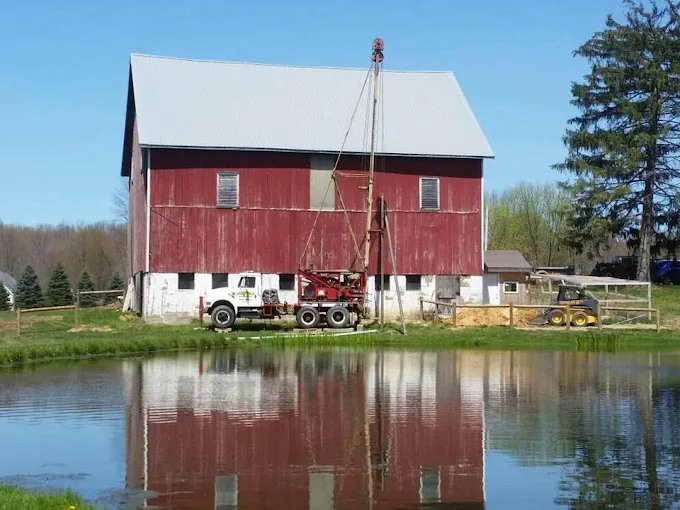
The 256 domestic wells on file within 5 miles of Rouseville, from the state’s drilling logs: your neighbors’ wells, and the best guide to this ground.
Source: PaGWIS (PA DCNR), domestic wells within 5 miles, retrieved 2026-09-30; older paper-record locations are approximate.
Four Sources Behind the Waterworks
EPA lists four active sources for Rouseville Municipal Waterworks, all groundwater: Spring #1, Well #1, Well #2 and Well #5, with a single treatment building. Cascade aeration there removes iron, and a polyphosphate inhibitor and a pH adjustment protect the pipes. Chlorine and 4-log treatment of viruses, a level of disinfection that kills nearly all of them, complete the list. The system serves about 523 people through 214 connections, and they get their water report from the waterworks.
Corrosion control at the plant is aimed at the pipes; a home’s own plumbing still shapes what reaches the glass. If you see blue-green stains, a water test at your tap shows whether the water is working on copper, and the Venango County treatment page covers the options.
Late Devonian Rock and a Narrow Yield Band
The rock mapped under the town is the Corry Sandstone through Riceville Formation, a Late Devonian sequence of sandstone, shale and siltstone. The local logs show a narrow spread of yields, with the middle half of 232 yield records between 10 and 20 gallons a minute. Depth is moderate too: a quarter of wells finished by 60 feet and a quarter went past 137.
For a new well, that points to a comparatively short bore, though every lot is different. The drilling cost page explains how depth and casing add up. If an existing well has slowed, well cleaning or a pump check may bring it back before drilling again is on the table.