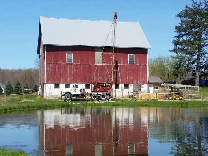
Venango County's USGS depth record holds only 13 wells, so the town logs tell more: hundreds of logs around each of the 10 towns on our map, with median depths in a tight band from 88 to 112 feet.
A thin county record, fuller town logs
The 13 USGS groundwater site records for Venango County have a median depth of 130 feet, but their middle half runs from 63 to 200, a wide spread from a small set. The logs within 5 miles of each town center give a steadier picture: 666 around Sugarcreek, 584 around Polk, 552 around Barkeyville, and 214 around Clintonville, the fewest.
Those logs put Clintonville deepest at 112 feet, then Cooperstown (103) and Franklin (102). Utica is shallowest at 88, with Polk (90) and Rouseville (93) just above. No median sets the depth of one hole, so a new well is still judged on its own ground, and our drilling cost page explains what moves the price.
Cuyahoga Group at half the town centers
The Cuyahoga Group is mapped at five town centers: Cooperstown, Franklin, Polk, Sugarcreek and Utica. The Allegheny Formation is mapped at Barkeyville and Clintonville, Corry Sandstone through Riceville Formation at Oil City and Rouseville, and the Pottsville Formation at Pleasantville.
Depth to bedrock in the logs is a median 18 feet around Clintonville and 36 around Utica, with the other eight between 19 and 28. Median yields run from 10 gallons a minute around Pleasantville to 20 around Barkeyville, Cooperstown, Polk, Sugarcreek and Utica. Where a well gives less, the pump and the pressure tank have to be chosen with that in mind, and a constant-pressure upgrade is one way to keep the pressure steady at the tap.
Eight groundwater systems, one bought supply
Eight of the 10 towns sit inside a public system on EPA's map, and all eight systems rely on groundwater. Oil City pumps from 15 active wells for 9,608 people, and the General Authority of Franklin from 10 wells for 9,096. The smaller systems run on one to four: Rouseville four, Barkeyville and Clintonville two each, Cooperstown and Sugarcreek one each. Pleasantville Borough Water has no active wells and buys groundwater from Titusville Municipal Water.
Polk and Utica have no system on that map, which isn't proof that no home there is connected; a home on a public line gets its report from the utility. What the systems do to their water, and what the USGS samples say about pH, is on our Venango County treatment page.
Source: Water quality: USGS National Water Information System results for Venango County wells, served through the Water Quality Portal, sampled between 1928 and 2023, retrieved 2026-09-14. Each well counts once, as the median of its samples. The 0.3 mg/L iron and 0.05 mg/L manganese marks are EPA secondary standards, which are aesthetic limits, not health limits. Well depth: USGS groundwater site inventory for Venango County, 13 wells with a recorded depth, retrieved 2026-09-14.