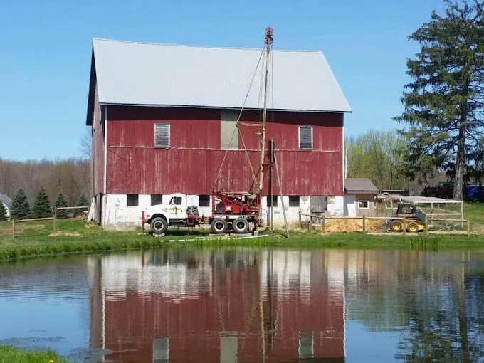
In most of Ashtabula County’s 19 mapped towns, water in the median well stands 20 feet or less below the ground. What changes from town to town is yield: 3 gallons a minute near Dorset and Kingsville, 15 near Williamsfield.
Three to fifteen gallons a minute
Yield is where Ashtabula County wells differ most. Within 5 miles of Williamsfield, the median logged well gives 15 gallons a minute. Andover’s median is 10 and Windsor’s 9. Near Dorset and Kingsville it drops to 3, and near Ashtabula, Jefferson, North Kingsville, Pierpont, Roaming Shores and Rock Creek it is 4.
Depth varies less. Median wells run from 80 feet at Windsor, 76 at Williamsfield and 75 at Austinburg down to 53 at Jefferson, 51 at Dorset and 50 at Pierpont. On a well that gives 3 or 4 gallons a minute, the pump and pressure tank have to be sized to that flow, and the nearest well logs are the starting point for a new well.
Ohio Shale at sixteen town centers
The rock mapped at 16 of the 19 town centers is Ohio Shale. Andover and East Orwell are on Berea Sandstone and Bedford Shale, and Williamsfield on the Maxville Limestone with the Rushville, Logan and Cuyahoga Formations.
How far down the rock starts varies more than the rock itself. Logs near Rome put the median depth to bedrock at 18 feet, Windsor at 19, and Orwell and Rock Creek at 20. Near Conneaut it is 68 feet, with North Kingsville at 52 and Austinburg at 47. Water levels range widely too, from a median 7 feet below ground at Dorset to 47 at Conneaut. Where rock and water sit this close to the surface, a yearly bacteria test is worth keeping up.
Twelve towns inside a mapped system
EPA’s map puts 12 of the 19 towns inside a public water system. Three of those systems draw from Lake Erie. Aqua Ohio - Ashtabula serves Ashtabula, Kingsville and North Kingsville, and the other two are Conneaut and the Lake County East Water Subdistrict, mapped at Unionville Center. Andover-Camplands Water and Orwell Village, which covers Orwell and East Orwell, pump groundwater from 3 and 6 active wells. Geneva, Jefferson, Roaming Shores and Rock Creek buy water from Aqua Ohio - Ashtabula, the Ashtabula County Water System, or both.
Austinburg, Dorset, New Lyme, Pierpont, Rome, Williamsfield and Windsor show no system on the map, which does not rule out a public connection for homes there. For well chemistry, the USGS county record is small: 9 wells for hardness, iron and manganese, 48 for pH, sampled in 1982 and 2016. The Ashtabula County water treatment page works through it.
Source: Water quality: USGS National Water Information System results for Ashtabula County wells, served through the Water Quality Portal, sampled between 1982 and 2016, retrieved 2026-09-14. Each well counts once, as the median of its samples. The 0.3 mg/L iron and 0.05 mg/L manganese marks are EPA secondary standards, which are aesthetic limits, not health limits. Well depth: Ohio Department of Natural Resources well-log database, 5,480 domestic wells in Ashtabula County with a recorded depth, logged between 1936 and 2026, retrieved 2026-09-14.