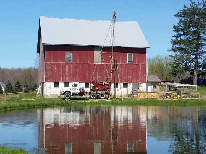
The 724 domestic wells on file within 5 miles of Saegertown, from the state’s drilling logs: your neighbors’ wells, and the best guide to this ground.
Source: PaGWIS (PA DCNR), domestic wells within 5 miles, retrieved 2026-09-30; older paper-record locations are approximate.
Seven Borough Wells, Six Treatment Points
EPA’s record for Saegertown Borough lists seven active wells, all groundwater, serving a population of 1,500 through 388 connections. Six treatment facilities are named after the wells: one each for Wells #1 through #5, and one for Well 6 and Well 7 together. The steps listed are chlorine gas after treatment, 4-log treatment of viruses (disinfection that kills virtually all of them), and sequestration for iron and manganese.
EPA lists no lead 90th-percentile rounds for the system. A system figure is measured across many homes in any case, and one tap can differ, so testing your own is how to know. Water testing can be done on site or through a certified lab, and reverse osmosis at the kitchen sink is the usual answer if lead turns up.
Tied Fifth for Depth, With Rock Close Up
A typical well around Saegertown is a short cased section over a long run of open hole. Half of the 724 depth logs fall between 63 and 103 feet, tying the area for 5th of 16 in Crawford County by median depth, while rock sits a median 20 feet down.
At the town center, the map shows the Venango Formation: Late Devonian siltstone, conglomerate, sandstone and shale. That is a guide to the area rather than a record of any one hole. Well drilling covers air rotary work in bedrock, and what a new well costs explains how depth drives the price.