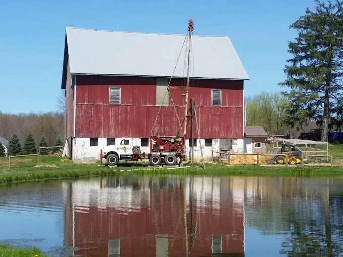
The 123 domestic wells on file within 5 miles of Spartansburg, from the state’s drilling logs: your neighbors’ wells, and the best guide to this ground.
Source: PaGWIS (PA DCNR), domestic wells within 5 miles, retrieved 2026-09-30; older paper-record locations are approximate.
Where Spartansburg Wells Meet Rock
Depth to rock varies widely around Spartansburg. Of 94 logs that record it, a quarter reached rock by 15 feet, the median is 25, and a quarter went 54 feet or more. Casing usually runs down to rock, so one lot can need far more of it than the next.
Corry Sandstone through Riceville Formation, a Late Devonian run of sandstone, shale and siltstone, is what the map shows at the town center. How deep the hole goes depends on the water it finds, and that only shows once drilling starts. Well drilling sets out the drilling methods and when each suits the ground, and what a new well costs covers the price factors, casing among them.
Reading 123 Logs Around Spartansburg
The figures here come from 123 depth logs, 119 with a yield and 94 with a depth to rock, all within 5 miles. That’s enough to show a pattern, though a median from a sample this size is only a rough guide, and one lot can sit well outside it.
The pattern is modest yields. A quarter of logs gave 8 gallons per minute or less, and the upper quarter starts at 15. A well in that range is set up around its limits: a submersible pump that doesn’t outrun it, and a pressure tank that helps cover peak use. On an existing well, a well inspection measures the flow so the setup can be checked against it.