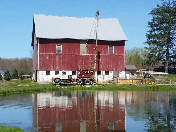
The 830 domestic wells on file within 5 miles of Campbell, from the state’s drilling logs: your neighbors’ wells, and the best guide to this ground.
Source: ODNR well logs, domestic wells within 5 miles, retrieved 2026-09-30.
A Tight Band of Rock Depths at Campbell
Rock begins between 20 and 40 feet down in the middle half of the 778 Campbell logs that record it, with a median of 29. That is a narrow band, which makes the casing on a new well easier to plan: pipe from the surface into the top of the rock, grouted around the outside so surface water can't follow it down, then open hole in rock below.
The rock mapped at the town center is the Allegheny and Pottsville Groups, Pennsylvanian shale, siltstone, limestone and sandstone. The logs record where each hole met rock; the map describes only the town center. Residential drilling covers the steps of the job, and the cost page sets out what casing and footage add to a quote.
Campbell Water Levels Vary More Than Rock
The resting water level spreads much wider than depth to rock: between 15 and 50 feet down in the middle half of 789 logs. For the pump, that range matters more than total depth. A well with water at 15 feet has a short lift; one at 50 needs a deeper pump setting and more lift before the house's pressure is added.
A submersible pump hung below the pumping level suits either, sized to the level and the yield measured when the well is test-pumped. Here, 655 logs record a yield, the middle half between 10 and 20 gallons a minute. A pressure tank matched to the pump keeps it from short-cycling.