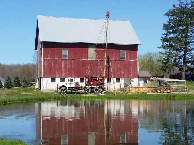
The 938 domestic wells on file within 5 miles of Lowellville, from the state’s drilling logs: your neighbors’ wells, and the best guide to this ground.
Source: ODNR well logs, domestic wells within 5 miles, retrieved 2026-09-30.
The Rock Mapped Under Lowellville
Geological maps put the town center on the Maxville Limestone and the Rushville, Logan and Cuyahoga Formations, a unit dated Devonian to Mississippian. Its rock types are listed as shale, siltstone, sandstone, conglomerate and limestone. The map describes the town center, not each well, and wells a few miles out can sit on different rock.
The logs show a modest depth to rock, between 20 and 43 feet in the middle half of 881 logs. Casing runs from the surface into the top of the rock and is grouted, and the well carries on below it until the hole takes in enough water from the beds and fractures it crosses. Well drilling covers the air rotary and cable tool methods, and residential drilling the steps of the job.
Shorter Wells, Shallower Pumps
A Lowellville well usually needs less drilling than most in the county. The town ranks joint 18th of 21 by median depth, and its deep quarter begins at 142 feet, well short of the county's 165. The cost page explains how drilled footage feeds into a quote.
For the pump, the water level matters more than the depth. The middle half of 890 logs put resting water between 15 and 46 feet. A submersible pump is set below the pumping level, the point the water falls to once the pump has run a while, so in a well with water near the top it hangs fairly high and the lift to the house stays short.