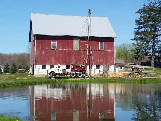
The 976 domestic wells on file within 5 miles of Struthers, from the state’s drilling logs: your neighbors’ wells, and the best guide to this ground.
Source: ODNR well logs, domestic wells within 5 miles, retrieved 2026-09-30.
A Narrower Spread of Struthers Well Depths
Of the 976 logs within 5 miles of Struthers, the middle half finish between 81 and 142 feet. Mahoning County's domestic wells spread further, from 85 to 165, and the median here, 107 feet, sits below the county's 120.
For a new well, that points to less drilled footage than in the county's deeper towns, and a narrower band to plan around. It is still a range: drilling goes on until the hole takes in enough water, and one logged well in four here reached 142 feet or more. Residential drilling covers the job, and the cost page explains how footage and casing shape a quote.
Water Level and the Top of the Rock
Two ranges in the Struthers logs overlap. Resting water sits between 15 and 46 feet down in the middle half of 919 logs, and rock begins between 21 and 43 feet in the middle half of 914. So in a typical well here, the water may come to rest around the top of the rock, near where the casing ends.
That matters when the pump goes in. A submersible pump is set below the pumping level, which is lower than the resting level, so it usually hangs in the open rock part of the hole, below the casing. The yield measured at test-pumping sets its flow. A well inspection checks the casing top, pump and flow on an older well.