The 765 domestic wells on file within 5 miles of Girard, from the state’s drilling logs: your neighbors’ wells, and the best guide to this ground.
Source: PaGWIS (PA DCNR), domestic wells within 5 miles, retrieved 2026-09-30; older paper-record locations are approximate.
Drilling Through Deep Cover Near Girard
Around Girard, much of a well’s depth is ground above the rock. In the 325 logs that note bedrock, the median depth to it is 53 feet, not far short of the median well depth of 60, and a quarter of them went 85 feet or more before reaching rock. On a typical well here, much of the drilling happens before the bit touches rock. The rock mapped under the town is the Girard Shale, siltstone and shale.
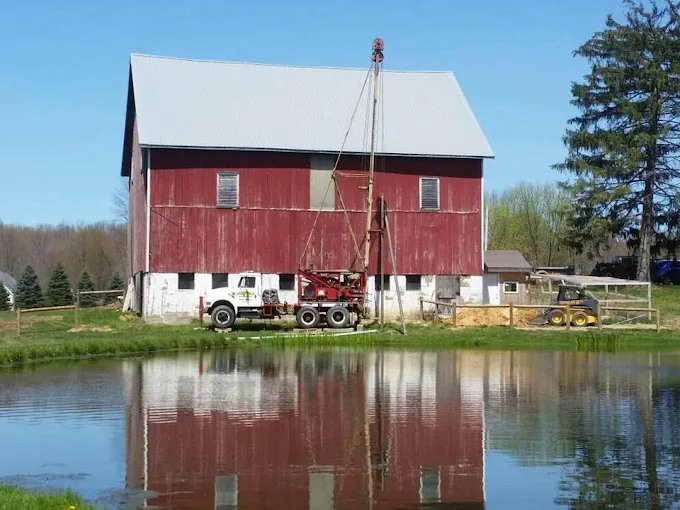
That cover is where the drilling method earns its place. Cable tool drilling pounds through loose ground while the casing follows the bit down; air rotary cuts rock and lifts the cuttings out with compressed air. Chatfield runs both, and well drilling explains when each fits. Deep cover also means a long string of casing, and the cost of a new well page explains how casing figures in.
Girard’s Wide Depth Range and Yields
Depth varies widely too. A quarter of the 765 logs stop at 43 feet or less and a quarter reach 86 or more, so a pump for a Girard well is matched to that well: its depth, where the water stands in it, and what it gave on the flow test. Yields sit in a middle band, a median of 10 gallons per minute across 685 logs, with a quarter at 5 or less and a quarter at 20 or more. Submersible and jet pumps are chosen from those measurements.
Borough homes are on a different supply: three borough wells, Mission, Mohring and Butternut, serving 1,277 connections. The Girard treatment page covers what the borough does to that water. Outside the borough’s lines, the pump, switch and tank belong to the homeowner.