The 734 domestic wells on file within 5 miles of New Beaver, from the state’s drilling logs: your neighbors’ wells, and the best guide to this ground.
Source: PaGWIS (PA DCNR), domestic wells within 5 miles, retrieved 2026-09-30; older paper-record locations are approximate.
Glenshaw Shale and Coal Under New Beaver
Geologic maps place the Glenshaw Formation at the town center, a Pennsylvanian sequence of shale, coal, sandstone and limestone. Shale holds water poorly except where it is fractured, and sandstone beds tend to do better, so two wells a short way apart can come in very differently. The middle half of the 694 yield logs runs from 7 to 20 gallons a minute.
Depth varies just as much, with a quarter of the 734 depth logs past 200 feet. That spread is why the cost of a new well is hard to pin down before drilling. Well drilling covers the air rotary and cable tool methods the Greenville office uses, and PA DEP permit assistance comes with a new well.
Iron First on the Test List
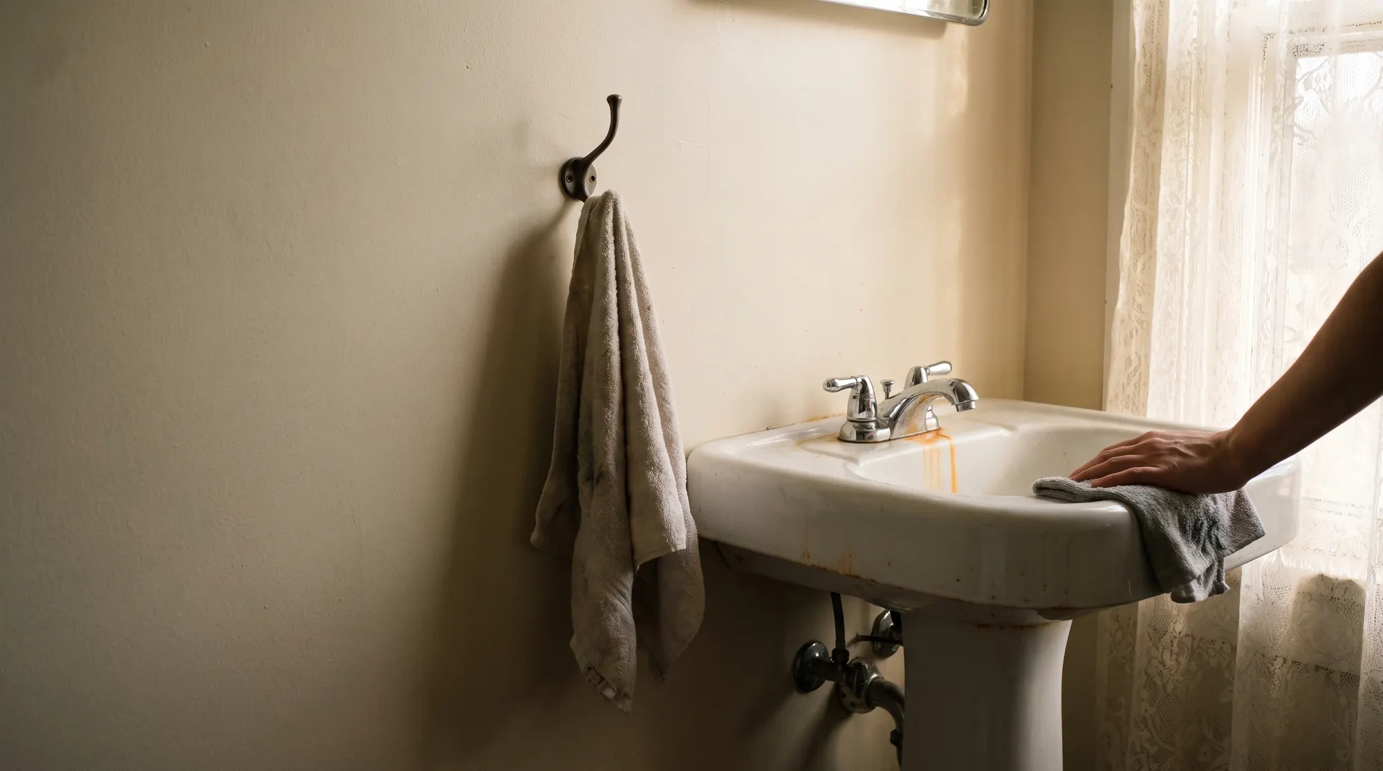
Lawrence County’s USGS samples, taken in 1928 and 2023, found iron above the 0.3 mg/L staining line in 79% of 29 wells, with a median of 1.3 mg/L, and manganese above its 0.05 mg/L line in 58% of 24. They describe the county, not your well, yet they point to iron as the thing to test for first. Orange stains in sinks and laundry are the usual sign, and manganese tends to leave darker marks.
Your own well’s numbers come from testing its water, on site or through a certified lab. Where iron and manganese are high, a FerronX Iron System takes them out before they reach the fixtures. The iron removal page covers it in more detail.